Industries Retail & Distribution, Cosmetics & Beauty
Getting plot coordinates from smallholder suppliers: the field problem
EUDR requires geolocation for every production plot. Point or polygon, the 4-hectare rule, cooperatives, and how to verify coordinates before you file them.

On this page
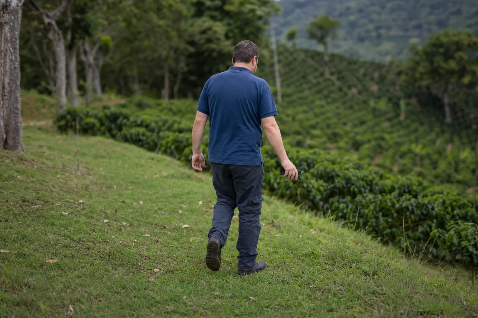
Six decimal digits of latitude and longitude pin a location down to about ten centimeters. That is the minimum precision the EU Deforestation Regulation (EUDR, Regulation (EU) 2023/1115) requires for every plot of land that produced the cocoa, coffee, palm oil, or natural rubber you place on the EU market. The data exists, but it sits at the edge of a two-hectare field, often thousands of kilometers from your procurement team, with a supplier who has never been asked for it.
Article 9 of the regulation requires the due diligence statement to include the geolocation of all plots where the relevant commodities were produced, plus the date or time range of production. Since the revision adopted in December 2025 (Regulation (EU) 2025/2650), the obligations apply from December 30, 2026 for large and medium-sized companies, and from June 30, 2027 for micro and small ones. A collection campaign across several thousand smallholders takes at least one harvest season, so the calendar is tighter than it looks.
One point below 4 hectares, one polygon above
The format is set by the regulation itself, in its definition of geolocation. Two cases:
- Plot of 4 hectares or less: a single latitude and longitude point, with at least six decimal digits, is legally sufficient.
- Plot of more than 4 hectares: a polygon is mandatory, meaning enough latitude and longitude points to describe the perimeter of the plot. The one exception is cattle, where the geolocation of the establishment is enough.
Most smallholder cocoa and coffee plots fall under the 4-hectare threshold, so a point would do. Collect polygons anyway where you can. A point tells you a plot exists somewhere around that spot; a polygon tells you where the plot stops, which is exactly what a forest-cover check needs. The difference in field effort is real (walking the perimeter rather than standing in the middle of the field), but you pay it once.
The EU information system accepts the data as GeoJSON, in WGS84 decimal degrees. Ask for that format from day one. A season's worth of coordinates delivered as screenshots, PDF scans, or a spreadsheet with commas where the decimal points should be is a season lost.
Good to know: six decimal digits is a minimum in the text, not a proof of quality. A coordinate padded with zeros to reach six decimals passes the format check and still points at nothing. Check how the data was captured, not just how it is written.
An intermediary does not carry the obligation for you
The EUDR binds the company placing the product on the EU market. Since the December 2025 revision, only that first operator files the due diligence statement; downstream companies keep and pass on its reference number. What the regulation never does is bind the smallholder in Côte d'Ivoire or Indonesia. Your supplier's supplier owes you nothing under EUDR. Whatever data reaches you does so because someone contracted for it, paid for it, or collected it in person.
That changes how you work with cooperatives and traders:
- Put the data in the contract, per delivery. A clause requiring "EUDR compliance" is decoration. A clause requiring a GeoJSON file listing every contributing plot, with production dates, attached to each lot, is a specification someone can meet or fail.
- Ask how the batch was assembled. The statement must list all plots that produced the commodity in the product. A cooperative that pools three hundred members' harvests into one silo must give you three hundred plots, not the coordinates of the silo. And a batch that mixes in volumes from unidentified plots cannot be declared at all, because compliance cannot be demonstrated for what cannot be located.
- Pay attention to who did the mapping. Some cooperatives have georeferenced their members for certification programs and hold solid registries. Others will subcontract the job in a hurry to whoever owns a smartphone. The first question to ask an intermediary is not "do you have the coordinates" but "who walked the plots, and when".
Good to know: under Article 9 the statement carries the date or time range of production for each plot. Record it at collection time. Reconstructing harvest dates a year later, farmer by farmer, is the single most expensive piece of data to recover.
Verify before you file: four checks that cost little
The information system checks that your file is well-formed. It does not check that the plots are real. That work is yours, and most of it is cheap:
- Format. Valid GeoJSON, WGS84, six real decimals. Reject files where the same coordinate repeats across dozens of farmers.
- Geographic plausibility. Plot a sample on a map. Points in the sea, in a town center, or in another country are more common than you would hope. So are polygons from two different suppliers that overlap, which means the same plot is being sold to you twice.
- Volume against area. Compare the declared tonnage of a lot with the total area behind it. A hillside of smallholder plots has a plausible yield range; a lot that exceeds it by an order of magnitude contains volumes from plots you have not been given.
- Forest cover in 2020. The EU Observatory on Deforestation and Forest Degradation publishes a global forest cover map for 2020, the regulation's cut-off date, at 10-meter resolution, free to use. It is explicitly non-binding and not exhaustive, but it tells you which plots deserve a closer look before you sign the statement. Under Article 9, deforestation on a single plot after December 31, 2020 disqualifies that plot's production, however clean the rest of the file is.
Start now, with the commodity and origin that carry your biggest volumes. Get the contract clauses in before the next harvest, ask for polygons and production dates from the first delivery, and run the four checks on every file before it goes anywhere near a due diligence statement. Coordinates you have verified once are an asset for every campaign that follows; coordinates you accepted on trust are a liability with a reference number.
FAQ
Is a single GPS point enough for a 3-hectare cocoa plot?
Legally, yes. Regulation (EU) 2023/1115 requires a polygon only for plots larger than 4 hectares. Below that, one latitude and longitude point with at least six decimal digits is sufficient. A polygon remains preferable in practice, because it allows the plot's boundaries to be checked against forest cover maps.
Can a cooperative provide one coordinate for all of its members?
No. The due diligence statement must include the geolocation of every plot that produced the commodity contained in the product. A cooperative pooling the harvests of its members must provide the coordinates of each member's plots, not the location of its warehouse or collection point.
What happens if one plot out of a thousand was deforested after 2020?
Under Article 9 of Regulation (EU) 2023/1115, deforestation on a plot after December 31, 2020 disqualifies the commodities produced on that plot. A batch containing volumes from that plot cannot be placed on the EU market, which is why plots should be screened before batches are assembled, not after.
When do the EUDR obligations apply?
Following Regulation (EU) 2025/2650, published in December 2025, the obligations apply from December 30, 2026 for large and medium-sized companies, and from June 30, 2027 for micro and small enterprises.